🧭
vSLAM + VIO on-device
Real-time visual odometry and mapping run locally for low-latency navigation without cloud or GPS.
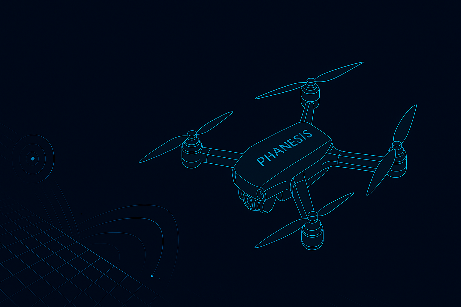
Phanesis is a compact AI vision module that keeps drones flying when GPS is weak, spoofed, or unavailable — enabling reliable navigation, return-to-home, and mission continuity indoors, underground, and in contested environments.
Real-time visual odometry and mapping run locally for low-latency navigation without cloud or GPS.
Integrates with existing UAVs and autopilots via a lightweight hardware module or software SDK.
Maintains state estimation when GNSS is jammed or spoofed and hands off seamlessly once signals return.
We fuse camera input with inertial data to compute pose and trajectory in real time. Landmarks are tracked for drift-aware localization, unlocking robust navigation in GPS-challenged environments.